1. Map
Use your the Immersal Mapper app on any mobile device to create a digital twin of a real-life environment.

Immersal offers a versatile Visual Positioning System (VPS) that provides accurate location-based data from devices in the modern world — improving navigation, management, and interaction within both indoor and outdoor environments.
Unlike traditional GPS, which relies on satellite signals, VPS uses computer vision, utilizing the camera on a device, to recognize and map the environment. By analyzing visual data from physical surroundings, VPS can pinpoint the exact location of devices, which enables next-generation wayfinding and asset tracking solutions — even in complex indoor and underground spaces.
Use your the Immersal Mapper app on any mobile device to create a digital twin of a real-life environment.
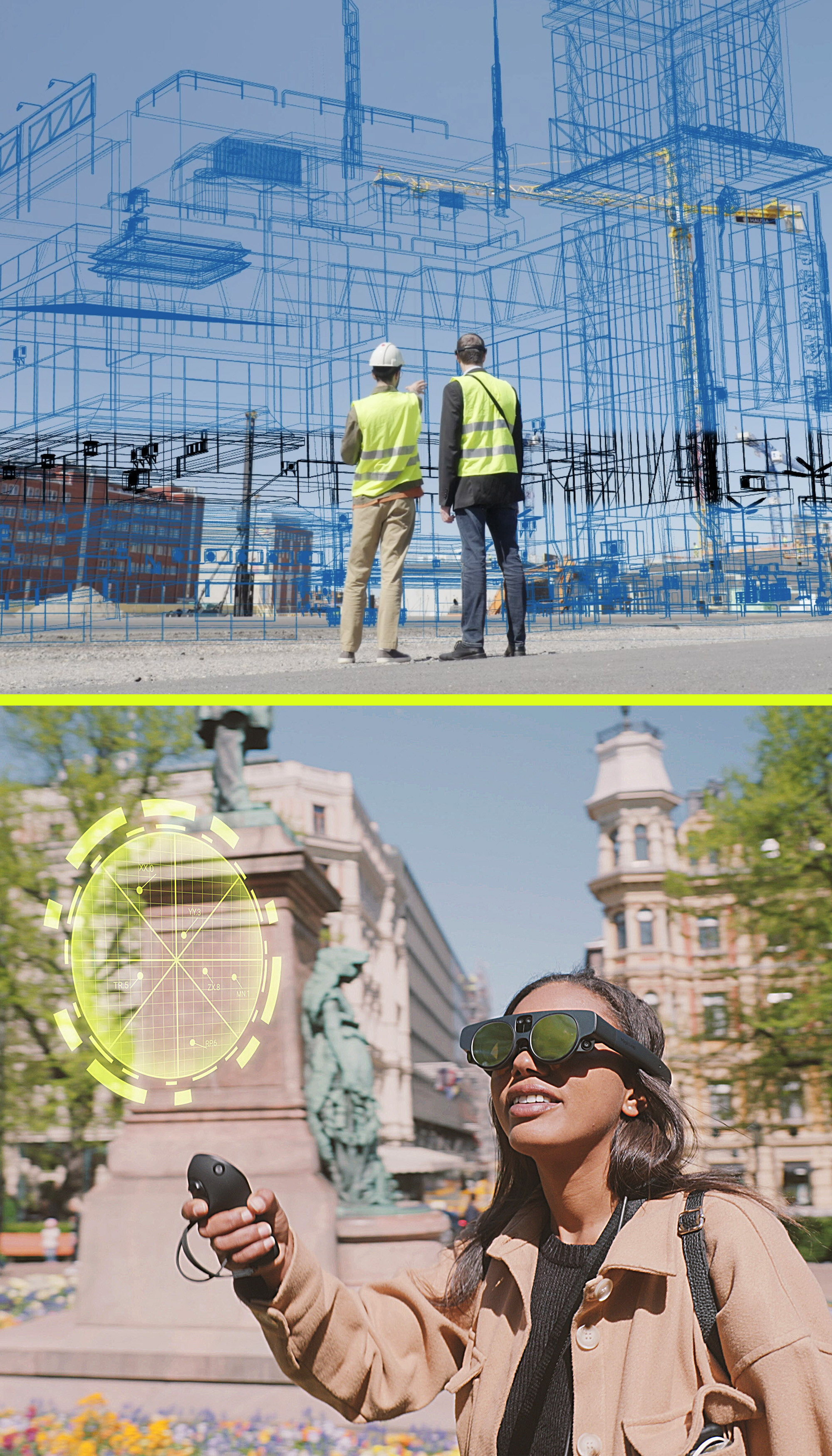
Enrich the real world by adding digital layers and elements, for example in Unity. You can add any kind of data, interactive multiplayer elements, real-time navigation, and more.
Users can experience your project on any AR-capable mobile device or with glasses. Projects can be integrated into an app or run on a web browser.


Want to add fast, accurate and battery-friendly AR features to your app?