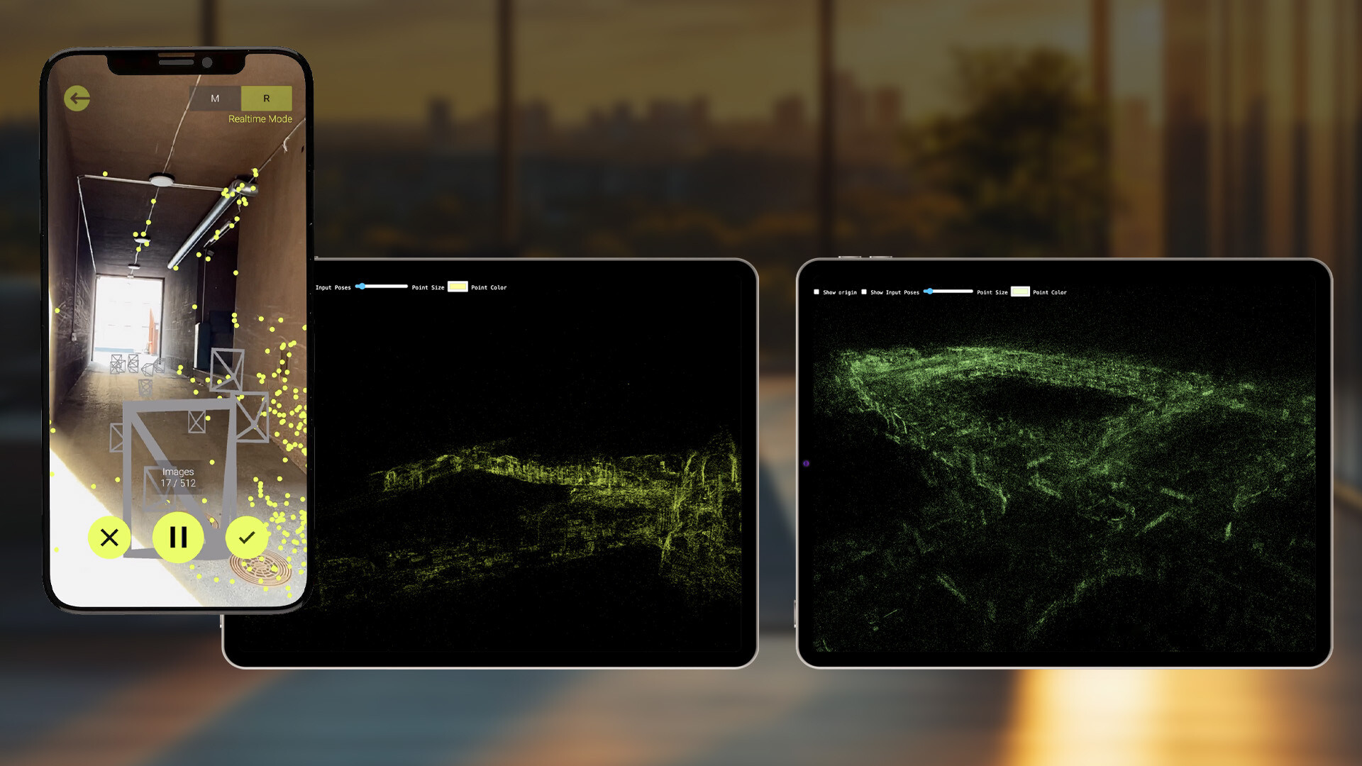
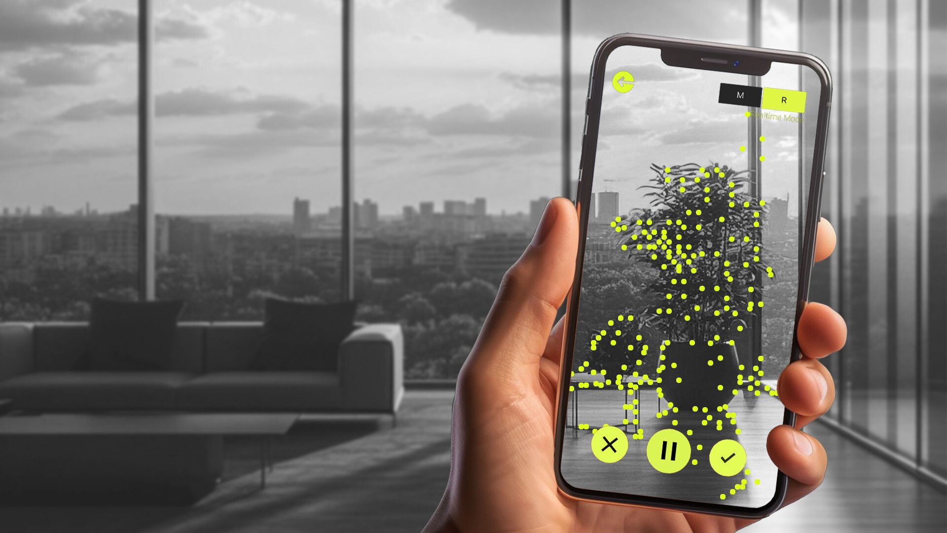
The Mapper App in use
Immersal Mapper 2.0 is a prebuilt app that converts any physical space into a detailed spatial map or point cloud mesh in real-time. It captures precise spatial data to generate an accurate digital representation of any environment.
It runs on iOS and Android devices and is ideal for quick map generation in small to medium-sized areas, in the absence of industrial strength equipment such as the Leica Geosystems mapping devices.
The maps can then be used to create XR experiences, digital twin applications, and location-based services.


Two Modes
In Manual mode, images are captured individually (meaning the user needs to tap on the button to take a picture), and saved on the device. The images are then uploaded to the server for map construction. Once processing is complete and the map is ready for localization, it can be downloaded and tested in AR mode.
In Real-Time mode, data is captured continuously as the user moves around the target area, recording a video, the user can see the point cloud as he's recording, the same point clouds they see on the screen is what they will get at the end. The app automatically generates a spatial map ready to be saved.
It's important to mention that the textured mesh is only available when using the manual mode.
See the documentation for more information.
